Surveyor-General Calls for More Mapping Stations to Enhance Nigeria’s Security
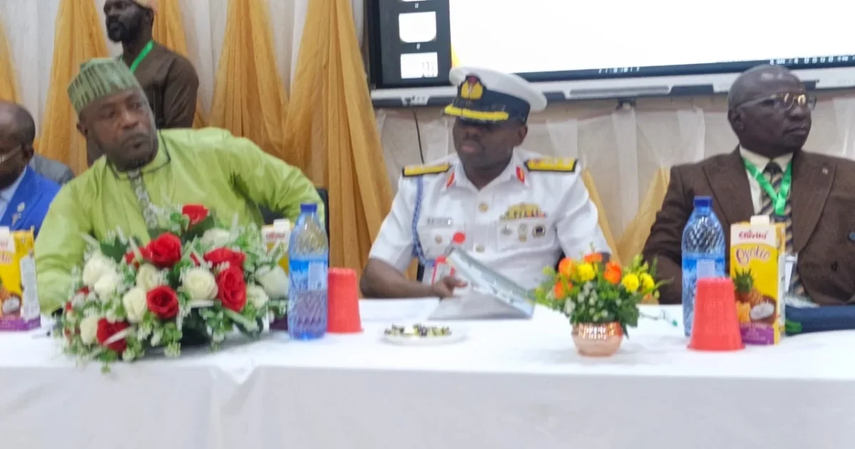
The Surveyor-General of the Federation, AbdulGaniyu Adebomehin, has highlighted the importance of expanding Nigeria’s network of mapping stations to strengthen security operations. He made this statement during a conference in Abuja, noting that the country currently has only 51 out of the 200 mapping stations recommended by the United Nations.
Adebomehin explained that these mapping stations, known as Continuously Operating Reference Stations, are crucial for activities such as counter-insurgency, search and rescue missions, and emergency responses. He stressed that accurate mapping is essential for effective national security planning.
He stated, “Expanding this network is not a luxury; it is a security enabler.” The Surveyor-General emphasized that geodesy, the study of Earth’s shape and features, plays a vital role in national security. He pointed out that the Office of the Surveyor-General of the Federation aims to provide necessary geospatial information for sustainable national development.
Adebomehin also called for Nigeria to adopt new technologies like artificial intelligence and satellite navigation systems to enhance the use of geospatial intelligence. He believes these advancements could turn traditional maps into dynamic tools for better decision-making.
Maj. Gen. P. O. Ilodibia, representing the Chief of Defence Space Administration, echoed Adebomehin’s sentiments. He stated that accurate geodetic data is essential for military intelligence and operational effectiveness. He warned that without a reliable national reference frame, the accuracy of intelligence gathered from various sources could be compromised.
Ilodibia urged for collaboration among various sectors, including academia and government, to improve Nigeria’s geospatial capabilities. He noted that disruptions to geodetic services could impact military operations and infrastructure.
Prof. T. O. Idowu, the National President of the Nigeria Association of Geodesy, also emphasized the growing importance of geospatial intelligence for national security. He encouraged cooperation among researchers and institutions to develop local geospatial capabilities.
[logo-slider]